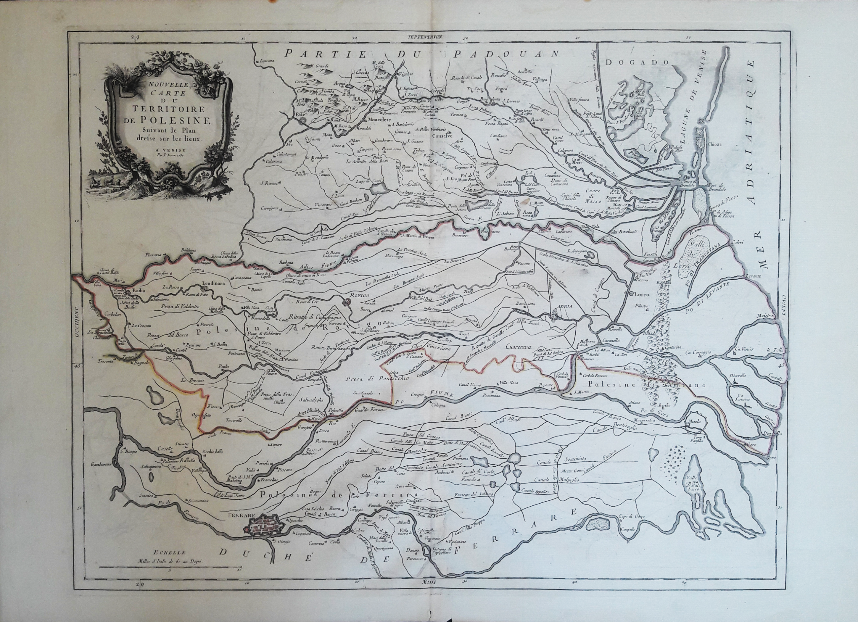
Nuovelle carte du territoire de Polesine
450,00 €
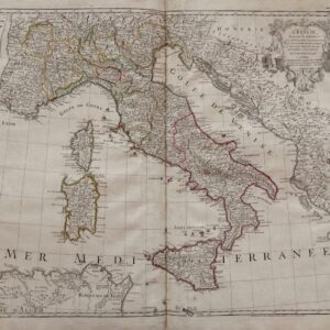
AUTORE: Santini Remondini
ANNO: 1780
DIMENSIONI: 475x605mm
TECNICA: Incisione in rame
Carta geografica ritraente il territorio del Polesine.
Esemplare in ottimo stato di conservazione fresco e marginoso.ARTIST: Santini Remondini
YEAR: 1780
SIZE: 475x605mm
TECHNIQUE: Copper engraving
Map of the territory of Polesine.
Exemplary in excellent state of fresh conservation.
Esaurito
Prodotti correlati
-
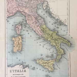
L’Italia al tempo di Napoleone 1810L’Italia al tempo di Napoleone 1810
60,00 € -
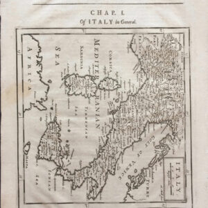
ItalyItaly
200,00 € -
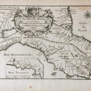
Itineraire d’Italie ou sont les Routes de Nice a Rome, par Genes, Lucquest et Florece; et de Rome a Venise par LoreteItineraire d’Italie ou sont les Routes de Nice a Rome, par Genes, Lucquest et Florece; et de Rome a Venise par Lorete
180,00 € -
L’ItalieL’Italie
400,00 €